Top-Rated Land Surveyor
Talk to our Expert
*By submitting this form, I confirm that I have read and agree to Geocentric’s Privacy Policy.

Top-Rated Land Surveyor
Talk to our Expert
*By submitting this form, I confirm that I have read and agree to Geocentric’s Privacy Policy.
Our Services
Geocentric delivers 100% accurate, reliable, and legally compliant land surveys using GPS, LiDAR & Drone tech for projects of all sizes across India.
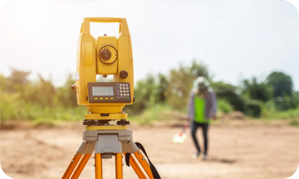
Topographic Survey
A detailed mapping of land features, elevations, and contours using advanced Total Station , GPS, LiDAR, and drone technology for precise planning and development.
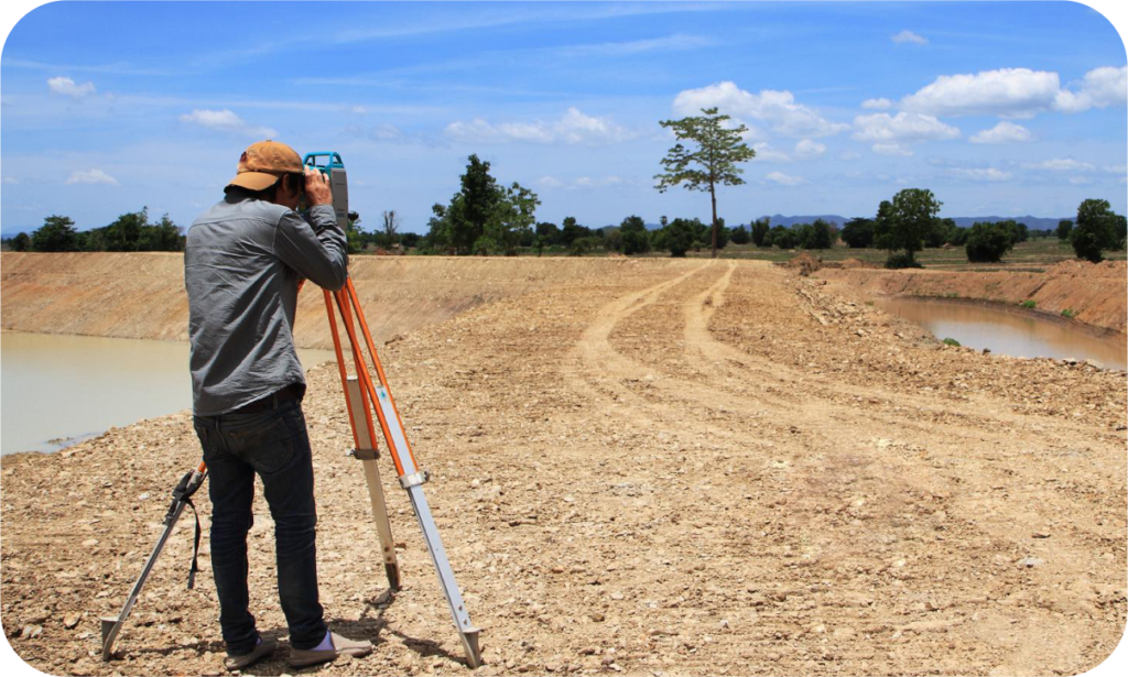
Contour Survey
Measures land elevation and slope variations to create detailed contour maps, essential for construction, drainage, and land development projects.

Hydrographic Survey
Maps underwater terrain, depths, and water bodies using sonar, GPS, and LiDAR technology for navigation, construction, and environmental studies.

Bathymetric Surveys
Measures underwater depths, terrain, and features using sonar and GPS technology for navigation, dredging, and marine construction projects.
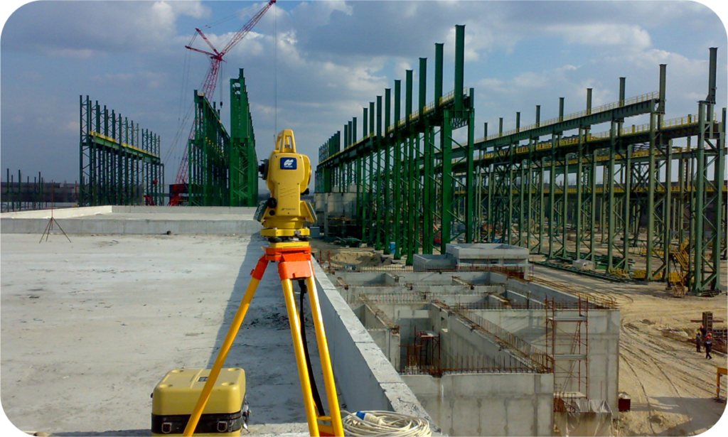
Construction Layout
Precisely marks reference points and measurements on-site using advanced surveying technology to ensure accurate building placement and alignment.

As-Built Survey
A detailed survey that records the precise location, dimensions, and features of a completed structure, ensuring it aligns with design specifications and regulatory requirements.
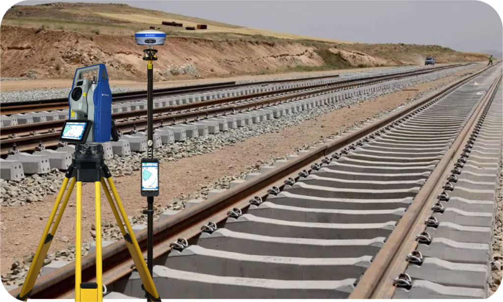
Railway Survey
Maps and analyzes railway alignments using GPS, LiDAR, and drones for track planning, expansion, and maintenance, ensuring safety and efficiency.
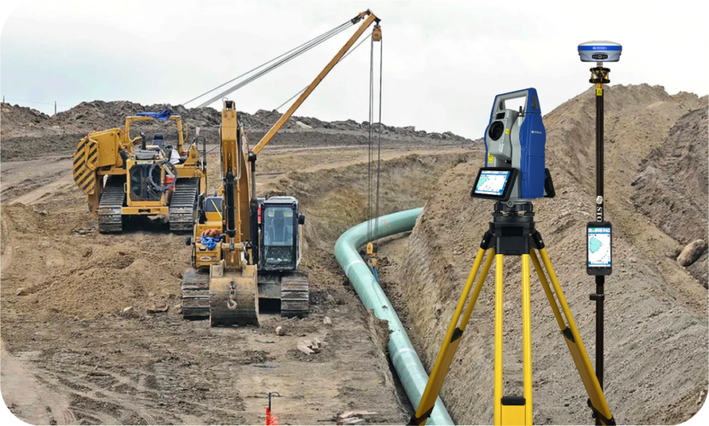
Pipeline Survey
Conducts detailed mapping, alignment, and elevation analysis for the safe and efficient planning, installation, and maintenance of oil, gas, and water pipelines.

Road Survey
Involves precise mapping, alignment, and elevation analysis to design, construct, and maintain roads, ensuring optimal safety, drainage, and durability.
Why Choose Us?
The #1 Land Surveying Experts!
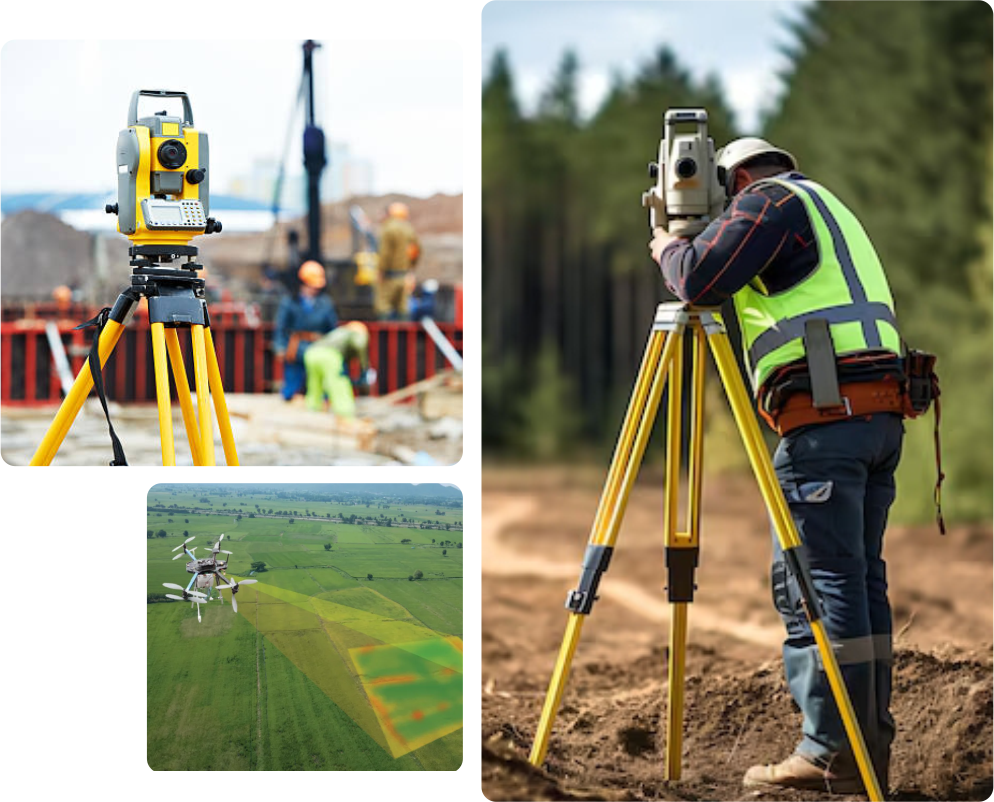
At Geocentric, we are committed to delivering precise, reliable, and legally valid land surveys for all types of projects. Whether it’s property boundaries, construction planning, or GIS mapping, our licensed experts use the latest GPS, LiDAR, and drone technology to ensure 100% accuracy.
- ✅ 100% Accurate Surveys – GPS, LiDAR & Drone-powered precision!
- ✅ Fast & Reliable – Quick surveys, zero delays!
- ✅ Certified & Legal – Government-approved, expert-driven!
- ✅ Transparent Pricing – No hidden costs!
- ✅ Nationwide Coverage – Serving all across India!
How We Work
Simple, Fast & Precise! 🚀

We begin with a detailed consultation to assess your project’s needs, recommend the best survey solutions, and ensure legal compliance.

Our team uses GPS, LiDAR, and Drone technology to capture high-precision data, avoiding errors and ensuring accuracy in every detail.

We process survey data using advanced software, generating detailed maps and reports that comply with legal and industry standards.

Receive clear, legally valid reports on time, with expert support for understanding data and planning your next steps.

10+
Years of Experience

1315+
Projects Completed

750+
Trusted by Happy Clients

22+
Team of Professional
Testimonial
What Our Clients Say
At Geocentric, we take pride in delivering accurate, fast, and reliable land surveying services. Here’s what our happy clients say:
- Highly professional with pinpoint accuracy!
- Their drone survey was a game-changer!
- Top-notch experts! Resolved our land dispute.

Geocentric's professionalism and expertise exceeded our expectations! We needed a precise boundary survey for our new project, and their team delivered it flawlessly. Their accuracy helped us avoid legal disputes and ensured smooth construction planning.

I was amazed by their drone surveying technology! The high-resolution images and detailed mapping helped us make crucial decisions for our construction site. Geocentric’s team was quick, professional, and extremely knowledgeable.

When purchasing land for our new factory, we needed a legally valid land acquisition survey. Geocentric provided a detailed report that was 100% compliant with government regulations, making the process seamless and stress-free.
Frequently Asked Questions
A land survey is the process of measuring and mapping land boundaries, features, and elevations using specialized equipment and techniques to provide accurate property details.
A land survey is essential for property transactions, construction projects, land disputes, zoning compliance, and infrastructure planning. It ensures clarity on boundaries, legal ownership, and land use.
We provide a wide range of land surveys, including:
- Boundary Survey – Identifies property lines and corners.
- Topographic Survey – Maps land features and elevations.
- Construction Survey – Assists in site layout and development.
- Hydrographic Survey – Measures water bodies and underwater features.
- Drone (Aerial) Survey – High-resolution aerial mapping.
- GIS Mapping Survey – Geospatial mapping for urban planning.
(And many more!)
The cost of a land survey depends on factors such as the survey type, property size, terrain complexity, and location. Contact us for a free quote!
Survey timelines vary based on property size and survey type. A basic boundary survey may take a few hours to a couple of days, while complex surveys may take longer.
Yes! A land survey provides clarity on property boundaries, preventing disputes and ensuring a smooth transaction. Many lenders and legal authorities require an updated survey.
Absolutely! A professional survey provides legally valid boundary information that can help settle disputes between neighbors or property owners.
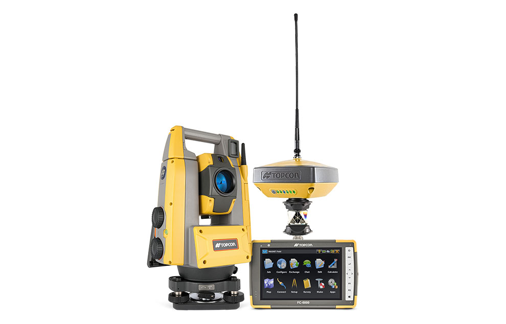
Yes, we utilize GPS, LiDAR, drones, GIS mapping, and total stations to ensure the highest accuracy and efficiency.
Yes, all our surveys comply with government regulations and industry standards, making them valid for legal and official use.
We’re Here to Help!
Need a land survey? Contact us today for fast, accurate, and reliable surveying services!
- +91 7704002005
- info@geocentric.in
- Delhi | Lucknow | Varanasi
Industries We Serve
🏗 Construction & Engineering | 🏡 Residential & Commercial Real Estate | 🌿 Agriculture & Land Development | 🛣 Infrastructure & Transportation | 🏢 Government & Municipalities
Why Settle for Less? Get the Best Land Survey Now!
✅ Ultra-Precise Surveys – No Errors, Just Accuracy!
✅ Super-Fast Service – Because Time is Money! ⏳
✅ Latest Tech, Maximum Precision – GPS, LiDAR & Drones!
✅ Trusted by Thousands – Your Project Deserves the Best!
Land Survey Urgent? Call Now! 👇🏻
✆ +91 7704002005

Our Land Surveying Services
Topographic Survey, Boundary Survey, Contour Survey, Land Acquisition Survey, Hydrographic Survey, Bathymetric Survey, Revenue Survey, Mutation Survey, As-Built Survey, Construction Survey, Sub-Division Survey, Site Planning Survey, Property Survey, Geodetic Survey, Railway Survey, Pipeline Survey, Highway Survey, Canal Survey, Irrigation Survey, Forest Survey, Mining Survey, Agricultural Survey, Drone (Aerial) Survey, Photogrammetric Survey, Volumetric Survey, Floodplain Survey, Solar Site Survey, Wind Farm Survey, GIS Mapping Survey, Urban Planning Survey, Deformation Survey, Preliminary Survey, Route Survey, Heritage Site Survey.
Subscribe Now
Don’t miss our future updates! Get Subscribed Today!
©2021. Geocentric. All Rights Reserved.
Service Areas
Land Surveyor in Uttar Pradesh – Land Surveyor in Lucknow, Land Surveyor in Kanpur, Land Surveyor in Varanasi, Land Surveyor in Agra, Land Surveyor in Prayagraj (Allahabad), Land Surveyor in Meerut, Land Surveyor in Ghaziabad, Land Surveyor in Noida, Land Surveyor in Bareilly, Land Surveyor in Aligarh, Land Surveyor in Moradabad, Land Surveyor in Gorakhpur, Land Surveyor in Jhansi, Land Surveyor in Saharanpur, Land Surveyor in Ayodhya, Land Surveyor in Mathura, Land Surveyor in Firozabad, Land Surveyor in Muzaffarnagar, Land Surveyor in Rampur, Land Surveyor in Shahjahanpur, Land Surveyor in Budaun, Land Surveyor in Etawah, Land Surveyor in Raebareli, Land Surveyor in Sultanpur, Land Surveyor in Unnao, Land Surveyor in Sitapur, Land Surveyor in Hardoi, Land Surveyor in Lakhimpur Kheri, Land Surveyor in Barabanki, Land Surveyor in Gonda, Land Surveyor in Bahraich, Land Surveyor in Basti, Land Surveyor in Deoria, Land Surveyor in Mau, Land Surveyor in Azamgarh, Land Surveyor in Ballia, Land Surveyor in Jaunpur, Land Surveyor in Mirzapur, Land Surveyor in Sonbhadra, Land Surveyor in Chitrakoot, Land Surveyor in Banda, Land Surveyor in Fatehpur, Land Surveyor in Kaushambi, Land Surveyor in Kannauj, Land Surveyor in Etah, Land Surveyor in Mainpuri, Land Surveyor in Kasganj, Land Surveyor in Sambhal, Land Surveyor in Hapur, Land Surveyor in Amroha, Land Surveyor in Bulandshahr, Land Surveyor in Bijnor, Land Surveyor in Pilibhit, Land Surveyor in Farrukhabad, Land Surveyor in Lalitpur, Land Surveyor in Mahoba, Land Surveyor in Hamirpur, Land Surveyor in Amethi, Land Surveyor in Shravasti, Land Surveyor in Balrampur, Land Surveyor in Kushinagar, Land Surveyor in Sant Kabir Nagar, Land Surveyor in Siddharthnagar.


